

15
JUN 2023Beyond the Breach: Latest Findings on Ukraine Dam Collapse
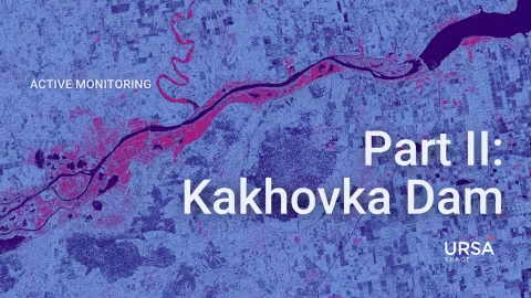
In our /blog/ukr-dam-collapse/" target="_blank" rel="noopener">previous article, we presented an overview of the severe flooding that occurred in specific regions following the catastrophic collapse of the Nova Kakhovka Dam, resulting in the Dnipro River overflowing and inundating parts of southern Ukraine.
Today, we bring you updated satellite imagery capturing the ongoing aftermath of the devastating event, even four days after the dam breach on the morning of June 6.
12
JUN 2023Ukraine Dam Collapse: SAR reveals flooding extent
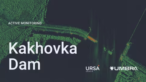
The collapse of a major dam has unleashed profound concerns over the damage caused by widespread flooding, as the waters from the Dnipro River gush across southern Ukraine.
Mass evacuations are underway downriver from the Nova Kakhovka Dam, the largest reservoir in Ukraine, which sits about 20 miles (30 km) east of Kherson, a city with a pre-war population of approximately 300,000.
05
JUN 2023Typhoon Mawar: Ursa, New Light Technologies collaborate to identify flooding
It was the strongest storm to hit Guam in over two decades. Typhoon Mawar hammered the Pacific island with sustained winds over 140 miles per hour and torrential rain, knocking out power to most of the 150,000 residents and causing widespread flooding.
Fortunately, there were no reported fatalities or major injuries on Guam, which is also a critical hub for U.S. forces in the Pacific.
11
MAY 2023Flood detection: Red River Valley prepares for spring thaw
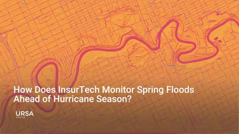
It is that time of year when the spring snowmelt followed by the start of the Atlantic hurricane season raises concerns about flooding in many parts of the United States.
Despite the attention, with so many flooding events spread across an expansive area, data collection remains a monumental task.
The need for ground truth is critical not only for the people in harm’s way, but also for the professionals responsible for providing services during natural catastrophes, including emergency responders and insurers.

18
APR 2023Ursa Space, Geosite Team Respond to Australia Flooding Event
South Australia experienced some of its worst flooding in recent memory when flood levees failed late last year along the Murray River, inundating the region and causing serious property damage.
In events like this one, processing insurance claims as quickly as possible is critical for individuals affected by the flood. In recent years, satellite imagery has emerged as a powerful resource for claims processors to rapidly and holistically assess area conditions after a catastrophic event.

09
MAR 2023Flood Mapping: Rising Sea Levels Threaten Venice’s Future
The fate of one of the world’s most treasured cities hinges on the performance of a mega-project scheduled to be fully operational later this year.
A system of flood barriers, located at three inlets that separate the Venetian Lagoon from the Adriatic Sea, is designed to hold back the rising water and prevent Venice from being consumed by the sea.

01
FEB 2023Flood Mapping: Santa Barbara County
As Southern California battles relentless drought, an onslaught of winter rains have brought forth a new problem. The region experienced its wettest day on record as almost a foot of rain fell between January 8th and January 9th.

11
OCT 2022Hurricane Ian: Satellite Analytics for Emergency Responders
Between September 27-30, 2022, Hurricane Ian made landfall on three separate occasions: first afflicting Cuba, then north to Florida, and rounding its ending in South Carolina. In Florida, storm surges ranged between 12 to 18 feet, amassing insured losses exceeding $60 billion. Millions were placed under evacuation order and 25% of the state was left without electricity.

10
SEP 2021An eye on Hurricane Ida’s impact through satellite data
A better solution leverages satellite imagery, specifically /blog/faq-what-is-sar/">synthetic aperture radar (SAR), a satellite-borne sensor that works in any weather conditions, day or night.
Our analysis below is based on SAR imagery, collected over parts of Louisiana where Hurricane ida struck a hard blow, allowing the viewer to see specific places in which flooding and damage occurred.