06
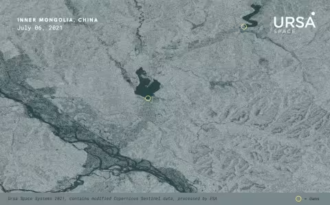
AUG 2021Inner Mongolia Dam Collapse Highlights Major Risk
On July 18, two dams in China’s Inner Mongolia collapsed after heavy rains battered the region, sending torrents of water downriver, causing severe flooding across farmland and forcing thousands of people to evacuate their homes.

14
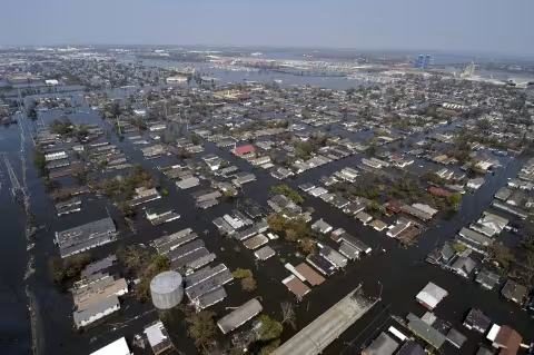
MAY 2021How SAR can help utilities, insurers respond to storms
Satellite data analytics are providing electric utilities and insurance companies with innovative solutions to respond faster and more efficiently to major storms that cause serious damage to property and infrastructure.
09
SEP 2020Story map: Mauritius oil spill
Having trouble viewing this story map? Click here to be redirected.
28
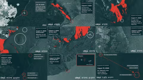
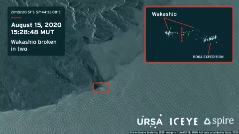
AUG 2020Covering oil spill from space takes group effort
The tragic oil spill caused by the bulk carrier MV Wakashio off the coast of Mauritius illustrates how satellite imagery and data analysis can be used to monitor events as they unfold.
In our last two blogs, we provided information on the size/location of the oil spill and plotted the Wakashio’s ill-fated voyage.
21
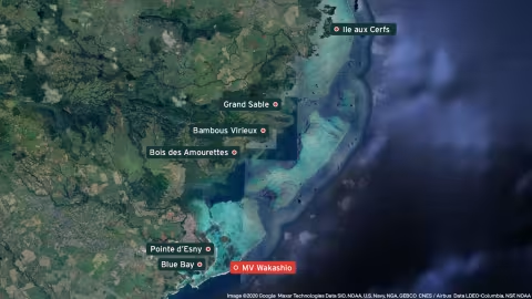
AUG 2020MV Wakashio leaves behind untold damage in Mauritius
In last week’s blog, we provided an overview of how Ursa is monitoring the environmental disaster caused by a vessel that ran aground off the coast of Mauritius July 25, leaking tons of oil into the Indian Ocean.
14
AUG 2020SAR analysis reveals scope of Mauritius oil spill
After a bulk carrier began spilling tons of oil near the southeast coast of Mauritius, creating an environmental disaster in the pristine waters of the Indian Ocean, crews worked to transfer the remaining fuel onboard and prevent further damage.
On August 12, Prime Minister Pravind Jugnauth said almost all the oil had been pumped out, nearly a week after the vessel began leaking.

06
SEP 2019SAR imagery reveals Bahamas flooding
As Hurricane Dorian struck the Bahamas, the slow-moving storm caused severe devastation due to high winds and flooding.
People were desperate for updates, but unfortunately, getting news was very difficult.
Some of the best information about the hurricane came from satellite imagery, specifically synthetic aperture radar (SAR).